


Environmental, Municipal
Client:
Victor NRI
Category:
Project:
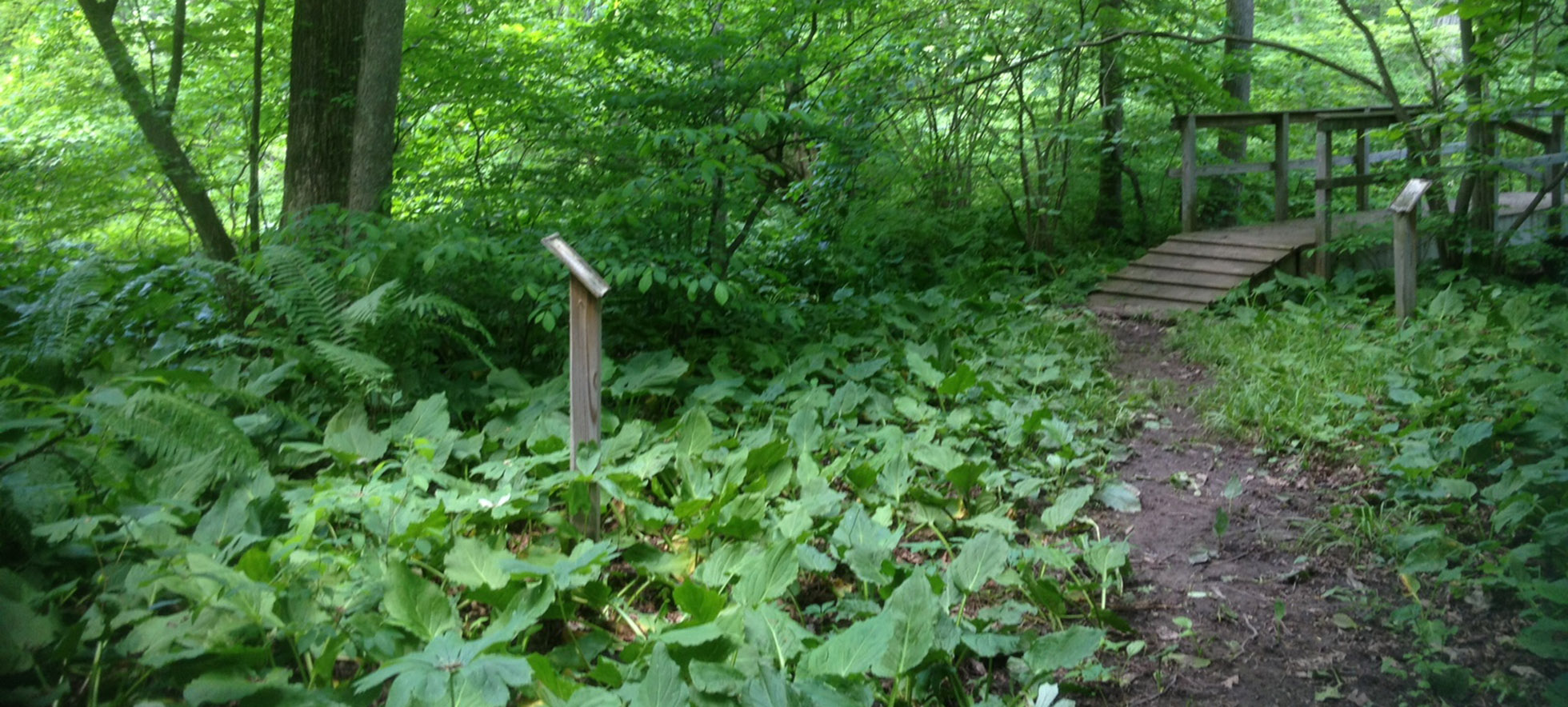
The environmental specialists at BME conducted a natural resource co-occurrence inventory and developed a report on natural resource areas, including mapping of wetlands, woods, steep slopes, streams and floodplains. This report is a valuable tool to help the Town manage the balance between land use and protection of natural environment.